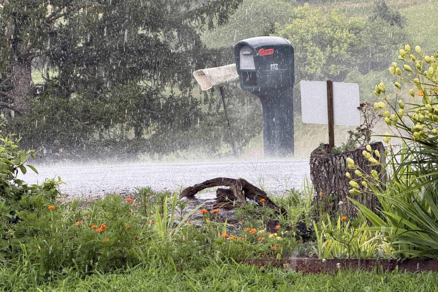
ASHEVILLE, N.C. (828newsNOW) — Strong thunderstorms are developing across Western North Carolina Tuesday afternoon, bringing gusty winds, small hail and torrential rain, with localized flooding possible.
The National Weather Service issued special weather statements for portions of Rutherford, Polk and Haywood counties as storms moved through the region.
In Haywood County, a strong thunderstorm was moving through northwestern parts of the county Tuesday afternoon.
At 3:21 p.m., Doppler radar showed the storm about 10 miles north of Waynesville, near Smoky Mountains-Cataloochee, moving northwest at 5 mph. The storm was expected to affect the area through about 3:45 p.m.
The storm could produce wind gusts of up to 40 mph and pea-sized hail, according to the National Weather Service.
Gusty winds could knock down tree limbs and blow around unsecured objects. Minor hail damage to outdoor objects also is possible.
Areas that could be affected include Smoky Mountains-Cataloochee, Smoky Mountains-Big Creek, Maggie Valley, Smoky Mountains-Balsam Mountain, Cove Creek, Waterville and Fines Creek.
Torrential rainfall also was occurring with the storm and could lead to localized flooding.
In Rutherford and Polk counties, a strong thunderstorm was tracked earlier Tuesday afternoon about 8 miles west of Rutherfordton, or 7 miles southeast of Lake Lure. It was moving west at about 10 mph.
That storm was capable of producing wind gusts of up to 40 mph and pea-sized hail. Areas including Lake Lure, Chimney Rock Village, Chimney Rock State Park, Bat Cave, Green Hill, Mill Spring, Lake Adger and Shingle Hollow were among those affected.
More storms possible across Western NC
Scattered to numerous showers and thunderstorms are expected across the region Tuesday afternoon and evening, according to the National Weather Service office in Greenville-Spartanburg.
Some storms could become strong to severe, producing locally damaging winds. Heavy rainfall also could lead to isolated flash flooding.
The Weather Prediction Center said Tuesday afternoon that showers and thunderstorms were increasing across North Carolina and southern Virginia, with some storms producing rainfall rates of 1 to 2 inches per hour.
Several areas could receive 1 to 3 inches of rain, with locally higher amounts possible if storms repeatedly move over the same locations.
Western North Carolina is among the areas more susceptible to flash flooding, according to the Weather Prediction Center.